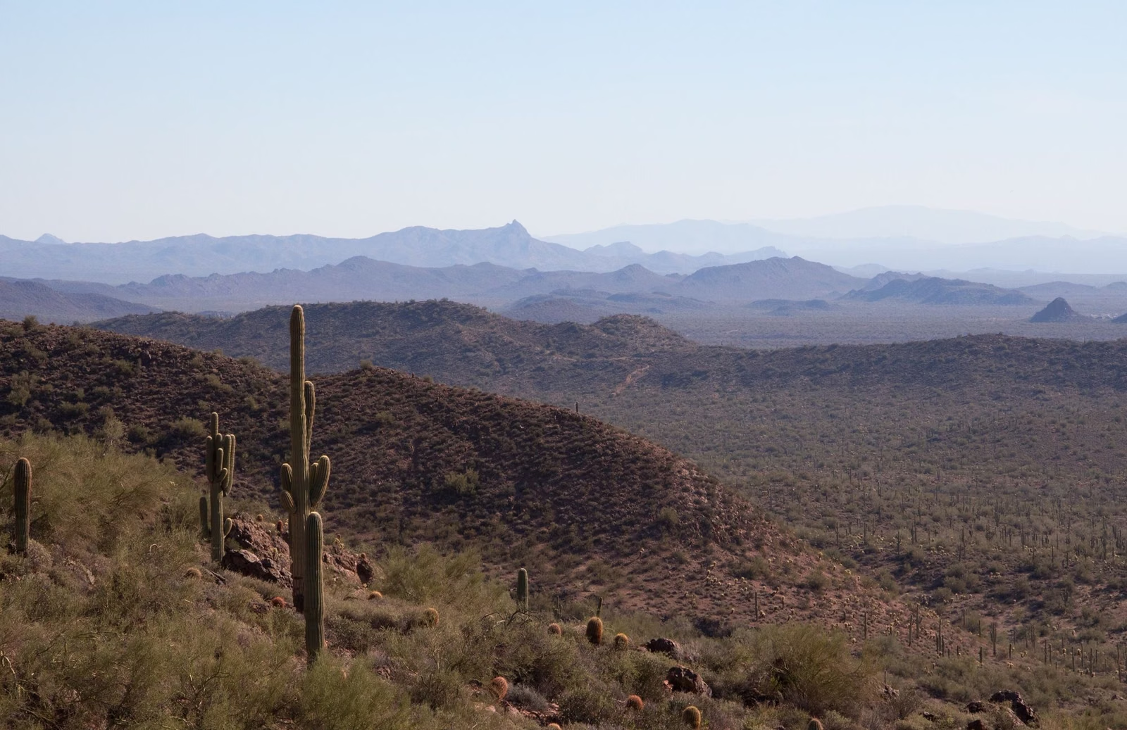
South Mountain Trail Map
The official South Mountain trail map is a free PDF from the City of Phoenix, linked as "Trail map printable PDF" at the top of the City's South Mountain Trails page. The current edition celebrates 100 years of City stewardship (1924–2024) and lists 34 named trails with their mileages, from the 0.5-mile Hidden Valley Trail to the 15.4-mile National Trail and the 16.2-mile Maricopa Trail. It also marks scenic overlooks, drinking fountains, public toilets, parking and walk-in access points.
Trail Map at a Glance
Where to Get the Map
- Online: the City of Phoenix South Mountain Trails page links the printable PDF. Download it to your phone before you go; the file works offline once saved.
- Trail descriptions: the same City page lists each trailhead with its address, the trails that start there, elevation change and a difficulty symbol.
This guide's mileages come from that map. The City's trail-description page gives different lengths for some trails (for example Holbert 2.5 miles instead of 2.3); when they disagree, we use the map.
Trail Lengths From the City Map
- National Trail — 15.4 miles (guide)
- Maricopa Trail — 16.2 miles
- Desert Classic Trail — 8.6 miles
- Ma-Ha-Tuak Perimeter Trail — 7.9 miles
- Guadalupe Perimeter Trail — 7.2 miles
- Gila Trail — 5.3 miles
- Alta Trail — 4.6 miles
- Pima Canyon Loop — 4.4 miles (Pima Canyon)
- Bajada Trail — 3.5 miles
- Bursera Trail — 3.4 miles
- Javelina Canyon Trail — 3.0 miles
- Hau'pal Loop — 2.8 miles
- Corona de Loma Trail — 2.7 miles
- Cholla Flats Loop — 2.6 miles
- Las Lomitas Trail — 2.6 miles
- Holbert Trail — 2.3 miles (guide)
- Marcos de Niza Trail — 2.3 miles
- Max Delta Trail — 2.3 miles
- Crosscut Trail — 2.1 miles
- Prospector Loop — 2.1 miles
- Thash Kavid Loop — 2.0 miles
- Lost Ranch Trail — 1.6 miles
- Ridgeline Trail — 1.6 miles
- Pima Wash Trail — 1.4 miles
- Bursera Canyon Trail — 1.3 miles
- Mormon Trail — 1.3 miles (guide)
- Beverly–Pima Connector — 1.2 miles
- Black Rock Canyon Trail — 1.2 miles
- Telegraph Pass Trail — 1.2 miles
- Beacon Hill Trail — 1.1 miles
- Kiwanis Trail — 1.0 mile (guide)
- Highline Connector — 0.8 miles
- Hidden Valley Trail — 0.5 miles (guide)
- Judith Tunell Challenge Trail — 0.5 miles (Visitor Center)
Reading the Difficulty Symbols
The City uses one rating guide for every Phoenix trail, printed on the map and its website:
- Green circle (solid): easiest. Minimal elevation change, paved or hard footing, no obstacles.
- Green circle (outline): easy. Slight elevation change, obstacles 2 inches or less.
- Blue square: moderate. Elevation change over uneven ground, obstacles up to 8 inches.
- Blue diamond (outline): moderate/difficult. Mostly uneven footing, loose rocks and possible drops up to 12 inches.
- Black diamond: difficult. Large elevation change, obstacles 12 inches or more.
- Two black diamonds: extremely difficult. Maximum elevation change, large drops and more exposure.
Temperature, time of day and weather make any rating harder in practice.
What Else Is on the Map
- Scenic overlooks, including Dobbins Lookout.
- Park roads, including Summit Road (Silent Sunday closes it to cars on Sundays).
- Drinking fountains and public toilets.
- Public parking with trail access, and walk-in access points with no parking.
- A land acknowledgement recognizing that Phoenix lies within the homeland of the O'Odham and Piipaash peoples.
- The rule: stay on designated trails shown on the map; off-trail travel is prohibited.
South Mountain Trail Map FAQ
Where can I get a South Mountain trail map?
The City of Phoenix publishes a free printable PDF, linked from its South Mountain Trails page. It lists 34 named trails with mileages and marks parking, toilets, drinking fountains and overlooks.
How many trails are at South Mountain?
The City's map lists 34 named trails, and the City says the park has more than 100 miles of trails in total.
What is the longest trail at South Mountain?
The City's map lists the Maricopa Trail at 16.2 miles and the National Trail, the ridge trail most hikers mean, at 15.4 miles.
What do the symbols on Phoenix trail maps mean?
Green circles are easiest and easy, a blue square is moderate, a blue diamond outline is moderate/difficult, a black diamond is difficult and two black diamonds are extremely difficult.