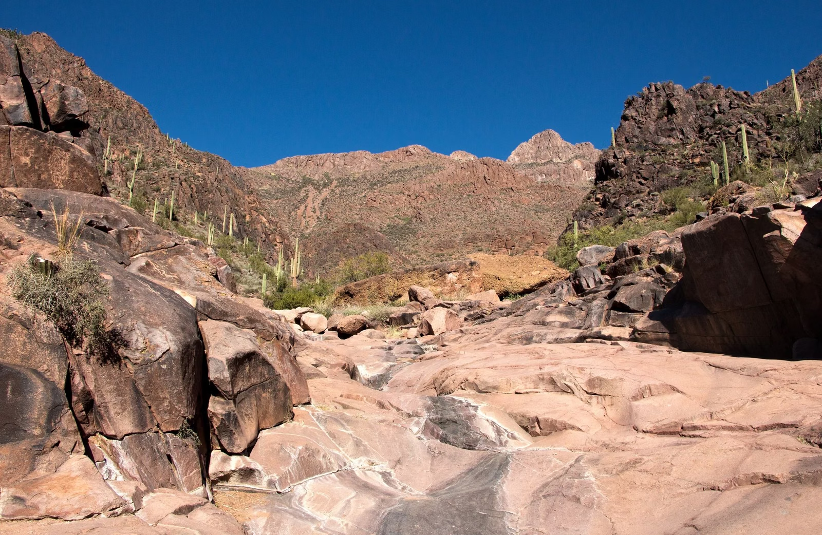
Hidden Valley & Fat Man's Pass
Fat Man's Pass is the narrow rock passage at the west end of Hidden Valley, a short trail off the National Trail in South Mountain Park and Preserve. The usual way in is the City of Phoenix's own suggested loop: up the Mormon Trail from the Mormon Trailhead at 8610 S. 24th St., along the National Trail, then through Hidden Valley, past Fat Man's Pass, a naturally smooth rock slide and a natural tunnel, and back. The Hidden Valley Trail itself is 0.5 miles with about 140 feet of elevation change.
Hidden Valley at a Glance
The Hidden Valley Loop, Step by Step
This is how the City of Phoenix describes the route on its South Mountain trail guide:
- Start at the Mormon Trailhead, 8610 S. 24th St.
- Climb the Mormon Trail (1.3 miles on the City map, about 720 feet of elevation change) to the National Trail.
- Turn onto the National Trail and follow it to either end of Hidden Valley.
- At the west end of Hidden Valley are Fat Man's Pass and the natural rock slide.
- Follow the wash trail to a small cliff. The wash and trail turn left and lead back out to the National Trail after passing through a natural tunnel.
- Loop back along the National Trail to the Mormon Trail and descend to the trailhead.
The City's map gives the Hidden Valley Trail as 0.5 miles. The total loop depends on which end of Hidden Valley you enter, so carry the City's trail map (Trail Map).
What Fat Man's Pass Is Like
As the name suggests, the pass is a narrow squeeze through the rock. Beside it, the City's guide points out a naturally smooth rock "slide". Further along, the route follows a wash to a small cliff, turns left and passes through a natural tunnel before rejoining the National Trail.
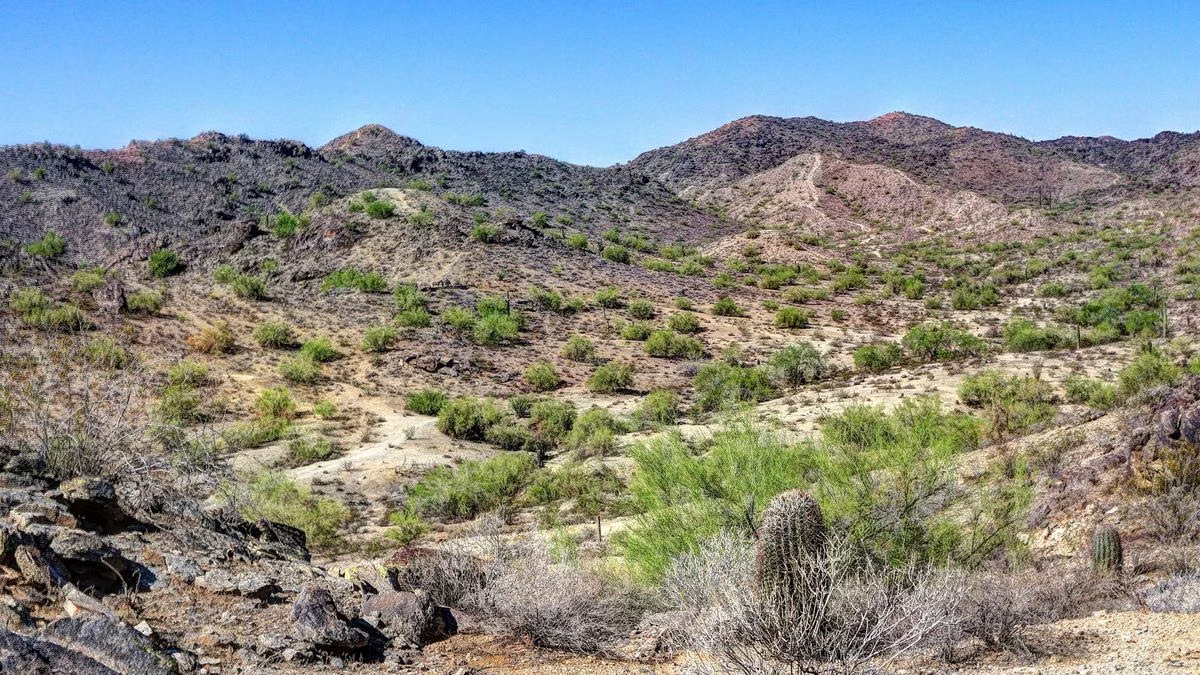
When to Go
- Time of day: the City's advice for every Phoenix trail is to hike when it's cool, early in the morning or in the evening.
- Heat warnings: the Mormon Trail, the usual way in, is restricted from 8 a.m. to 5 p.m. on Extreme Heat Warning days (Heat Closures).
- Crowds: the City describes the Mormon Trail, the usual approach, as busy much of the time.
- Hours: parking closes at 7 p.m.; trails stay open until 11 p.m. Be back at your car before the lot closes.
Good For / Maybe Skip If
Good for: hikers who want rock scenery and variety more than a long climb; a short morning outing from the 24th Street side.
Maybe skip if: tight spaces bother you. For a big view with a steady trail, take the Holbert Trail to Dobbins Lookout instead.
Hidden Valley & Fat Man's Pass FAQ
Where is Fat Man's Pass in Phoenix?
At the west end of Hidden Valley in South Mountain Park and Preserve. Reach it from the Mormon Trailhead at 8610 S. 24th St. by way of the Mormon Trail and the National Trail.
How long is the Hidden Valley Trail?
0.5 miles on the City of Phoenix trail map, with about 140 feet of elevation change. The full loop from the Mormon Trailhead is longer, because you climb the 1.3-mile Mormon Trail and walk part of the National Trail.
Is the Hidden Valley hike hard?
The climb up the Mormon Trail is rated moderate/difficult by the City. Hidden Valley itself is short, with about 140 feet of elevation change, but it passes through a narrow rock pass and a natural tunnel.
What is the rock slide at South Mountain?
A naturally smooth sloping rock at the west end of Hidden Valley, next to Fat Man's Pass. The City's trail guide describes it on the Hidden Valley loop.