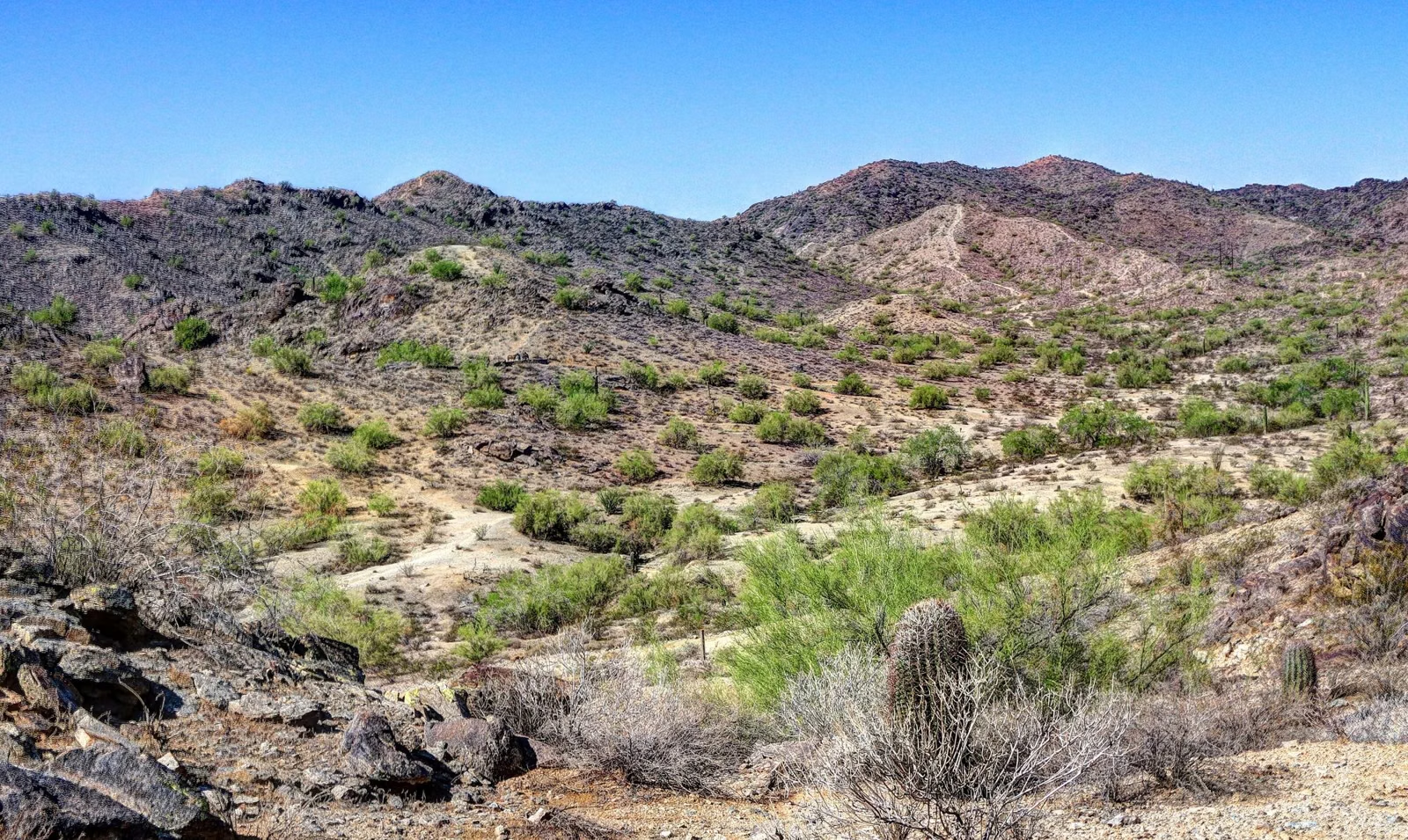
Hiking at South Mountain
South Mountain Park and Preserve has more than 100 miles of trails for hiking, horseback riding and mountain biking, spread across three mountain ranges: the Ma Ha Tauk, the Gila and the Guadalupe. The best-known hikes are the Holbert Trail to Dobbins Lookout, the Mormon Trail to Hidden Valley and Fat Man's Pass, and the 15.4-mile National Trail along the ridge. Trails are open 5 a.m. to 11 p.m.; trailhead parking is open 5 a.m. to 7 p.m. The City of Phoenix lists no fee.
Hiking at a Glance
The Best Hikes at South Mountain
Mileages are from the City of Phoenix trail map; elevation change and difficulty ratings are from the City's trail descriptions.
- Holbert Trail — 2.3 miles, about 1,100 feet of climbing, moderate/difficult. A steady climb from near the main entrance, with an extension to Dobbins Lookout.
- Mormon Trail — 1.3 miles, about 720 feet, moderate/difficult. The busy route up to the National Trail from the 24th Street side, with petroglyphs along the way.
- Hidden Valley and Fat Man's Pass — Mormon Trail to the National Trail, then the 0.5-mile Hidden Valley Trail through a narrow rock pass, a natural rock slide and a natural tunnel.
- National Trail — 15.4 miles along the spine of the park, reached from many trailheads.
- Kiwanis Trail — 1.0 mile, about 480 feet, moderate. A canyon walk past two 1930s rock dams, and the City's suggested introduction to desert mountain hiking.
- Pima Canyon — the east-side trailhead with flatter loops, the Pima Wash Trail and the 8.6-mile Desert Classic Trail.
- Telegraph Pass Trail — 1.2 miles from the Desert Foothills Trailhead, one of the trails where the City notes petroglyphs.
- Judith Tunell Accessible Trail — two paved half-mile loops at the Visitor Center with drinking fountains, benches and shaded ramadas (Visitor Center).
How Hard Are South Mountain Trails?
The City rates every Phoenix trail on a six-step scale: easiest (green circle, paved and accessible), easy (green circle outline), moderate (blue square), moderate/difficult (blue diamond outline), difficult (black diamond) and extremely difficult (two black diamonds). The symbol appears next to each trail name on the City's trail pages. Temperature, time of day and weather make any trail harder.
At South Mountain, most of the routes that climb to the ridge are moderate/difficult or difficult: rocky, uneven footing with loose stones and drops. The Alta Trail and the Ma Ha Tauk Trail on the west side are rated difficult. Flatter options are around Pima Canyon, where the wash and loop trails change only 70 to 120 feet in elevation.
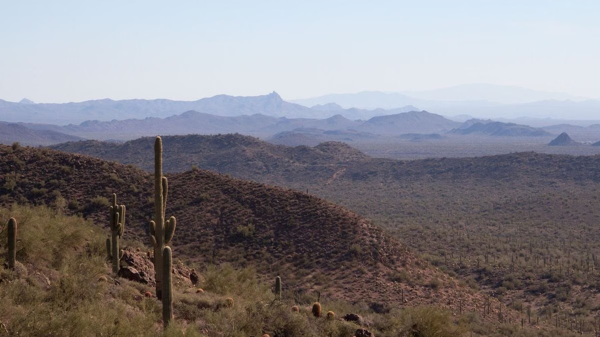
Trailheads
- Main Entrance: 10919 S. Central Ave. (Holbert, Kiwanis and Five Tables trailheads are reached from the park road inside)
- Mormon Trailhead: 8610 S. 24th St.
- Pima Canyon Trailhead: east end of Pima Canyon Road
- Beverly Canyon Trailhead: 8800 S. 46th St.
- Geronimo Trailhead: 9331 S. 20th St.
- 19th Ave. Trailhead: 10500 S. 19th Ave.
- Area 620 Trailhead: 15441 S. 19th Ave.
- Desert Foothills Trailhead: 14251 S. Desert Foothills Pkwy.
- Warpaint Dr. Access Trailhead: 13009 S. Warpaint Dr.
Directions and parking for each: Parking & Trailheads.
Hiking in the Heat
The City of Phoenix says more than 200 hikers are rescued every year from its desert and mountain parks. On days when the National Weather Service issues an Extreme Heat Warning, the City restricts the Holbert Trail, the Mormon Trail, the Hau'pal Loop and access to the National Trail from the Pima Canyon Trailhead from 8 a.m. to 5 p.m. The rest of the park's trails stay open, but they are no safer in the heat. Details: Heat Closures.
The City's checklist:
- Hike early in the morning or in the evening, when it's cooler and there's more shade.
- Wear proper shoes, a hat and sunscreen.
- Carry more water than you think you need, and turn back toward the trailhead before you've drunk all of it.
- Carry a phone, and hike with someone or tell someone your route and return time.
- If you have a medical condition, don't push yourself.
- Stay on designated trails. Off-trail travel is prohibited in the preserve.
Good For / Maybe Skip If
Good for: cool-season hikers from fall through spring; anyone who wants a real climb inside the city limits; families on the paved Judith Tunell loops.
Maybe skip if: it's a summer afternoon. Even outside an Extreme Heat Warning, the exposed rock trails get dangerously hot. A drive to Dobbins Lookout gives you the view without the climb.
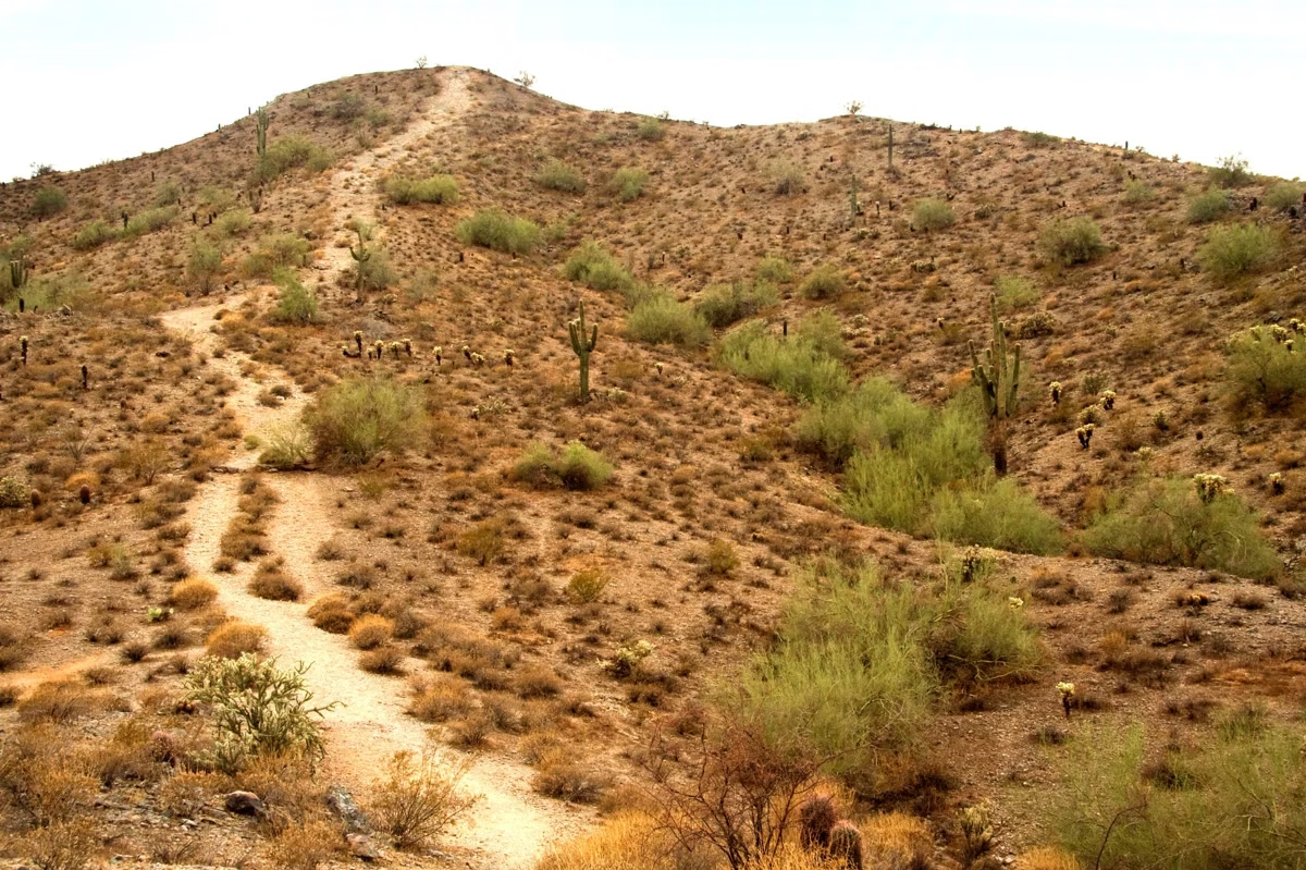
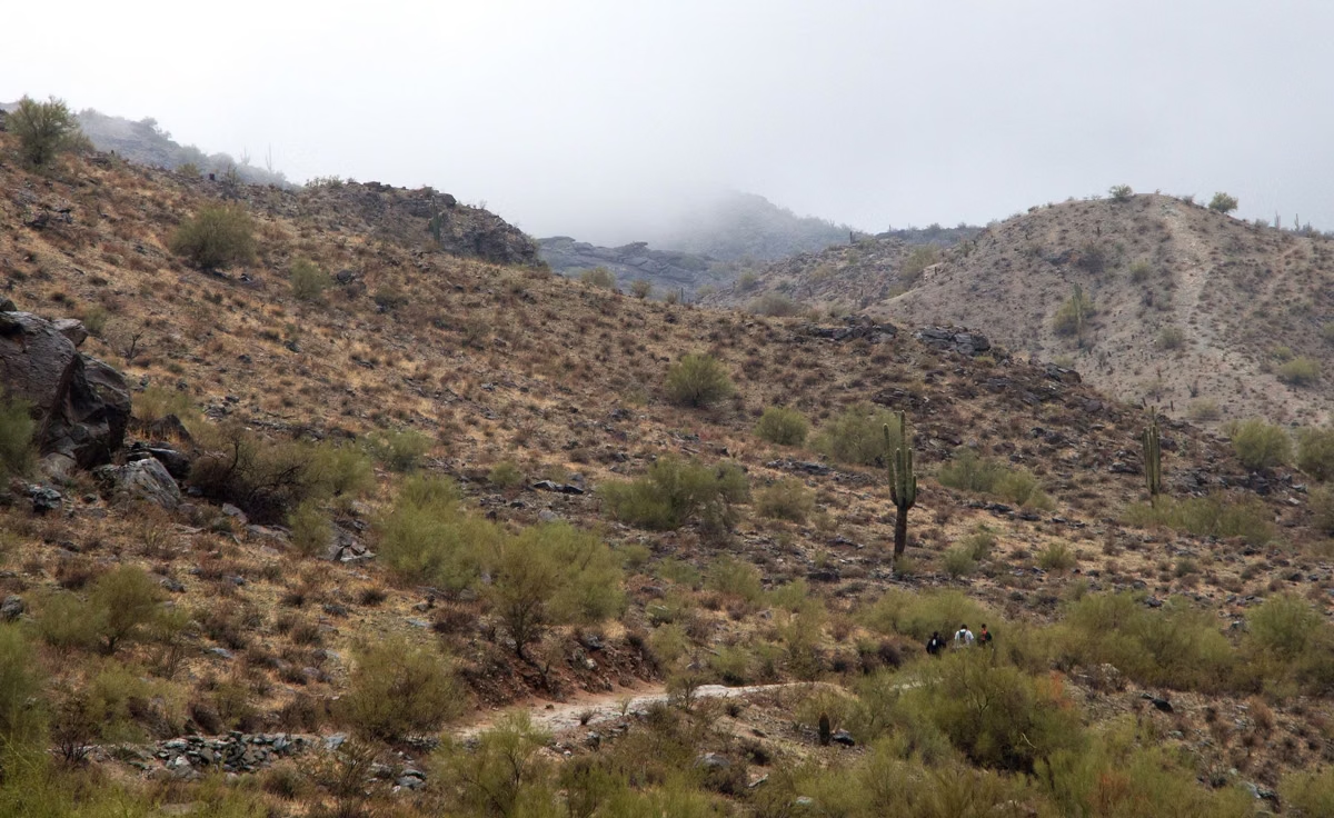
Hiking at South Mountain FAQ
What is the best hike at South Mountain?
The most popular are the Holbert Trail to Dobbins Lookout (2.3 miles, about 1,100 feet of climbing) and the Mormon Trail to Hidden Valley and Fat Man's Pass. For a gentler start, the City suggests the 1-mile Kiwanis Trail.
How many miles of trails are at South Mountain?
More than 100 miles, according to the City of Phoenix, for hiking, horseback riding and mountain biking. The City's map lists 34 named trails; the National Trail along the ridge is 15.4 miles.
Is there an easy hike at South Mountain?
Yes. The Judith Tunell Accessible Trail at the Visitor Center is two paved half-mile loops with benches, ramadas and drinking fountains. The Pima Canyon area also has flatter loops with little elevation change.
What time do South Mountain trails close?
Trails are open 5 a.m. to 11 p.m., but parking lots and the park entrance close at 7 p.m.
Are South Mountain trails closed in summer?
Not for the whole season. On days with an Extreme Heat Warning, the City restricts the Holbert, Mormon and Hau'pal Loop trails and National Trail access from Pima Canyon from 8 a.m. to 5 p.m. Other trails stay open.