Kiwanis Trail
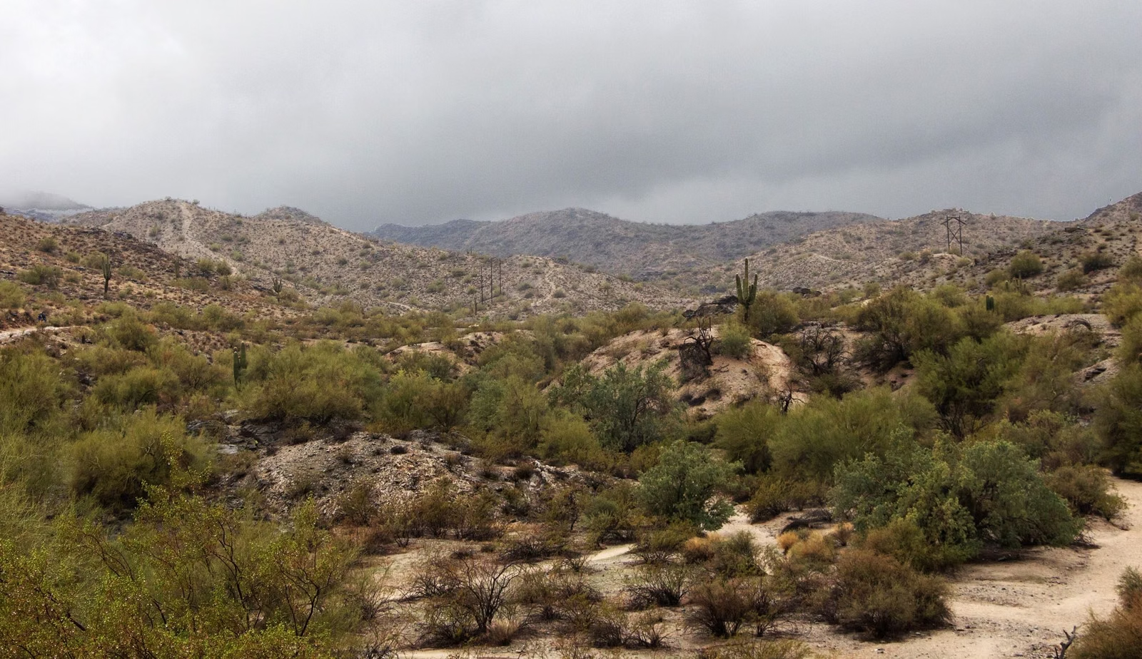
The Kiwanis Trail is a 1-mile hike up a rocky canyon in South Mountain Park and Preserve, rated moderate by the City of Phoenix, with about 480 feet of elevation change. The City recommends it for most levels of hikers and as an introduction to desert mountain hiking. Along the way are two rock wall dams built by the Civilian Conservation Corps in the 1930s. The trail ends at the park road, where you can continue onto the National Trail or the Telegraph Pass Trail.
Kiwanis Trail at a Glance
How to Get to the Kiwanis Trailhead
Enter at the main entrance, 10919 S. Central Ave., and drive in on Stephen Mather Drive. At the first four-way intersection, turn left, then turn left again onto Piedras Drive and follow it to the Kiwanis Trailhead. Parking follows the park's 5 a.m. to 7 p.m. hours (Parking & Trailheads).
What You'll See
- The canyon: the City describes a rock-studded canyon that is home to a variety of Sonoran Desert plants and animals.
- CCC dams: two rock wall dams built by the Civilian Conservation Corps in the 1930s, part of the same era of work that built many of the park's older trails (History).
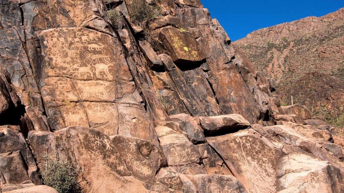
- Petroglyphs: the City's rock-art guide lists the Kiwanis Trail among the paths with Hohokam petroglyphs. Look and photograph from the trail only (Petroglyphs).
Where the Trail Goes Next
The Kiwanis Trail ends at the park roadway. From there, the City notes direct access to two longer routes:
- National Trail — the 15.4-mile ridge trail.
- Telegraph Pass Trail — 1.2 miles on the City map, which also starts from the Desert Foothills Trailhead at 14251 S. Desert Foothills Pkwy.
Watch for cars, bikes and walkers when you reach the road; the City warns that the park's roads have blind corners and narrow sections.
Good For / Maybe Skip If
Good for: first-time desert hikers; families; anyone who wants a short climb with a bit of history; a quick hike before the day heats up.
Maybe skip if: you want the big valley view. Pair Kiwanis with the National Trail, or head to Dobbins Lookout.
Kiwanis Trail FAQ
How long is the Kiwanis Trail?
1.0 mile one way, with about 480 feet of elevation change, according to the City of Phoenix.
Is the Kiwanis Trail easy?
The City rates it moderate and says it suits most levels of hikers, as an introduction to desert mountain hiking.
Where is the Kiwanis Trailhead?
Inside the main entrance at 10919 S. Central Ave. Drive in on Stephen Mather Drive, turn left at the first four-way intersection, then left onto Piedras Drive to the trailhead.
What are the dams on the Kiwanis Trail?
Two rock wall dams built by the Civilian Conservation Corps in the 1930s.