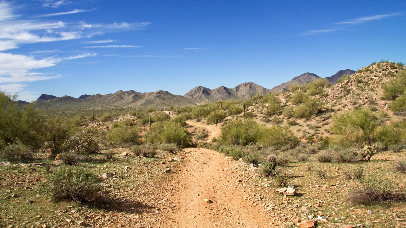
Pima Canyon
Pima Canyon is the main trailhead on the east side of South Mountain Park and Preserve, at the end of Pima Canyon Road in Phoenix. It has some of the flattest trails in the park: the Pima Wash Trail and the Pima West and East loops change only 70 to 120 feet in elevation. It is also the start of the 8.6-mile Desert Classic Trail and a popular way up to the National Trail. On Extreme Heat Warning days, access to the National Trail from Pima Canyon is restricted from 8 a.m. to 5 p.m.; the other Pima Canyon trails stay open.
Pima Canyon at a Glance
Which Pima Canyon This Is
This page covers Pima Canyon in South Mountain Park and Preserve, run by the City of Phoenix. Arizona has more than one Pima Canyon; if you're looking for the canyon trail in Tucson's Santa Catalina Mountains, that's a different park.
Getting There
Drive to the east end of Pima Canyon Road in Phoenix. The City lists the trailhead address as 4500 E. Pima Canyon Rd. on its trail page and 4800 E. on its trail map, so navigate to the road's end rather than a house number. Parking follows the park's 5 a.m. to 7 p.m. hours. The nearby Beverly Canyon Trailhead (8800 S. 46th St.) is a second way into the same area (Parking & Trailheads).
Pima Canyon Trails
Mileages from the City trail map where listed; elevation changes from the City trail guide.
- Pima Wash Trail — 1.4 miles, about 70 feet. Bear right from the trailhead.
- Pima West Loop and Pima East Loop — reached from the Pima Wash Trail; about 70 and 120 feet of elevation change.
- Pima Canyon Loop — 4.4 miles.
- Pima Ridgeline Trail — reached from the Pima Wash Trail; listed at 0.7 miles in the City's trail guide.
- Dirt Road Trail — about 150 feet of elevation change.
- Marcos de Niza Trail — 2.3 miles, about 310 feet. Bear left from the trailhead.
- Desert Classic Trail — 8.6 miles, about 270 feet. Bear left from the trailhead. It runs along the south side of the mountain; the Corona de Loma and Beverly Canyon trails connect to it.
- National Trail — the climb toward the ridge. Restricted from this trailhead on Extreme Heat Warning days.
The City's rock-art guide lists the Desert Classic among the trails with Hohokam petroglyphs (Petroglyphs).
Heat Restrictions at Pima Canyon
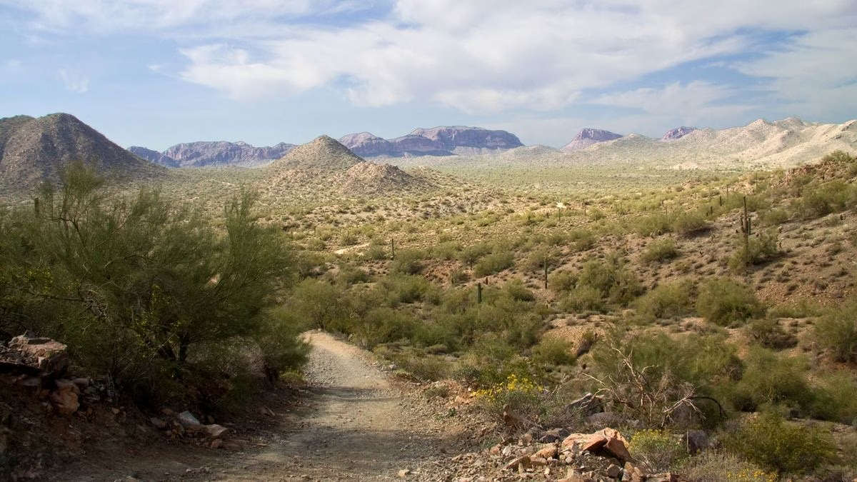
When the National Weather Service issues an Extreme Heat Warning, the City restricts access to the National Trail from the Pima Canyon Trailhead from 8 a.m. to 5 p.m. All other trails at Pima Canyon stay open, and the National Trail stays open from other trailheads. Details: Heat Closures.
Good For / Maybe Skip If
Good for: easy desert walks on low-grade loops; long, rolling rides or runs on the Desert Classic; starting a National Trail hike from the east.
Maybe skip if: you want the Dobbins Lookout view. That's on the other side of the park; start at the Holbert Trail instead.
Pima Canyon FAQ
Where is the Pima Canyon Trailhead?
At the east end of Pima Canyon Road in Phoenix, on the east side of South Mountain Park and Preserve. The City lists it as 4500 E. Pima Canyon Rd. on one page and 4800 E. on its map.
Is Pima Canyon an easy hike?
The Pima Wash Trail and the Pima West and East loops are among the flattest in the park, with 70 to 120 feet of elevation change. The National Trail from Pima Canyon is a real climb.
Is Pima Canyon closed in the summer?
Only National Trail access from the Pima Canyon Trailhead, from 8 a.m. to 5 p.m. on Extreme Heat Warning days. The other Pima Canyon trails stay open.
How long is the Desert Classic Trail?
8.6 miles on the City of Phoenix trail map. It starts by bearing left from the Pima Canyon Trailhead.