South Mountain Park and Preserve —
Your Complete Guide
16,000+ acres of Sonoran Desert mountains inside Phoenix: 100+ miles of trails, the drive to Dobbins Lookout and thousands of Hohokam petroglyphs, with no entrance fee listed by the City.
What is South Mountain Park and Preserve?
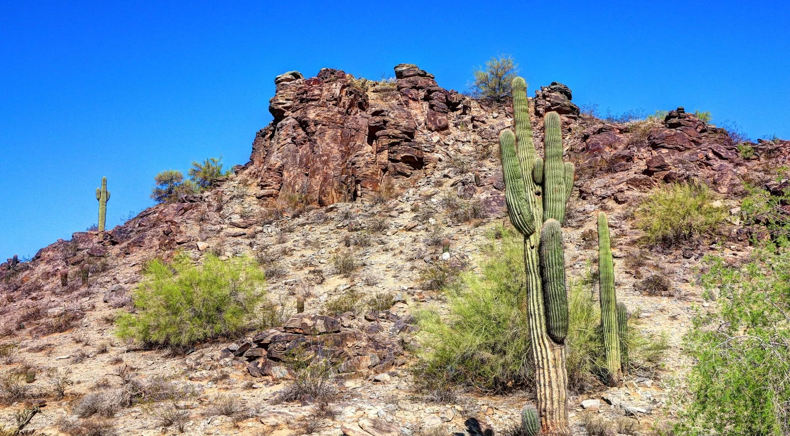
South Mountain Park and Preserve is a City of Phoenix park of more than 16,000 acres, one of the largest municipally managed parks in the United States. It spans three mountain ranges, the Ma Ha Tauk, the Gila and the Guadalupe, with more than 100 miles of trails for hiking, mountain biking and horseback riding. Summit Road climbs to Dobbins Lookout, the highest point open to the public at 2,330 feet. The entrance and parking are open 5 a.m. to 7 p.m., trails 5 a.m. to 11 p.m., and the City lists no entrance fee.
The City bought the first 13,000 acres in 1924 for $17,000 and celebrated 100 years of stewardship in 2024 (history). Some of its trails were built by Civilian Conservation Corps crews in the 1930s, and thousands of Hohokam petroglyphs are found in the park (petroglyphs).
Two things to plan for. Heat: on Extreme Heat Warning days the City restricts four trail routes from 8 a.m. to 5 p.m., and dogs are banned from City trails above 100°F (heat closures). And Sundays: Summit Road closes to cars on Sunday mornings and all day on the fourth Sunday of the month (Silent Sunday).
South Mountain Park and Preserve at a Glance
Things to Do at South Mountain
A mountain park inside the city: pick a view, a climb, a ride or a slice of history.

Dobbins Lookout
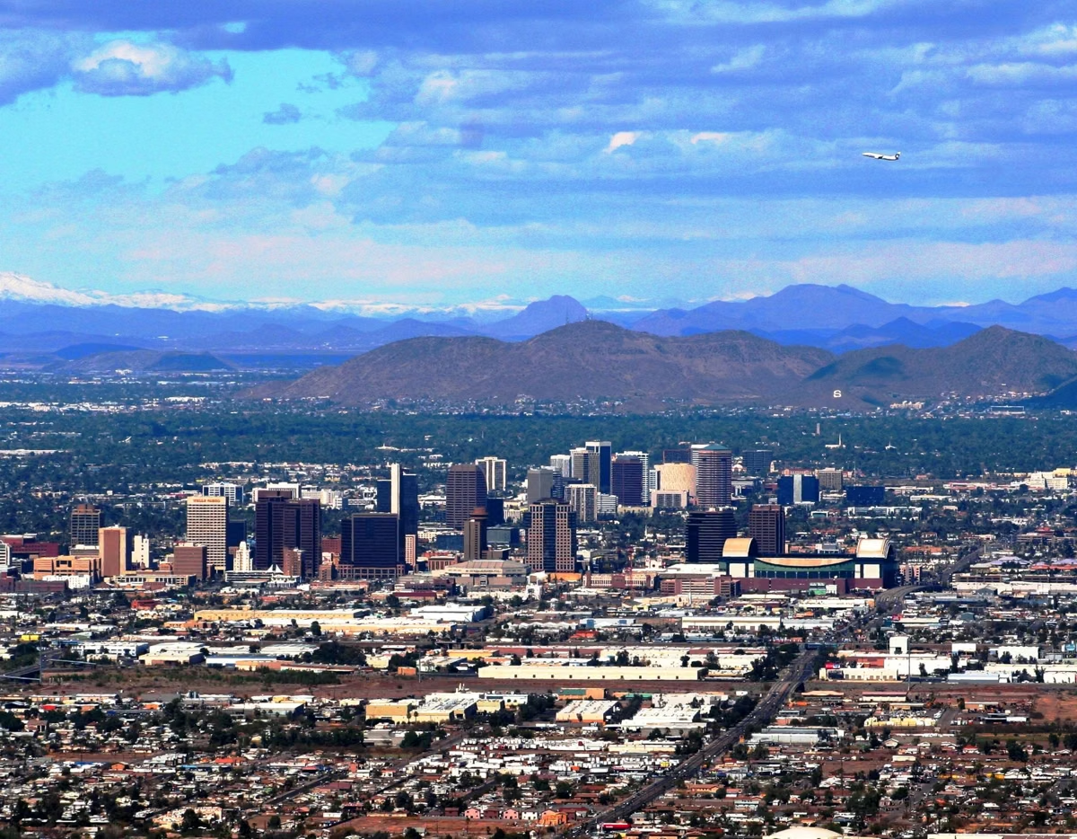
The park's highest public point, 2,330 feet, with a panoramic view of the Valley. Reach it on Summit Road or the Holbert Trail.
Drive or Hike Up →
Hiking
More than 100 miles of trails, from paved loops to the 15.4-mile National Trail along the ridge.
Best Hikes →
Fat Man's Pass
A narrow rock pass, a natural rock slide and a natural tunnel in Hidden Valley, reached by the Mormon and National trails.
Hidden Valley Loop →
Mountain Biking
Trails open to bikes, including the 8.6-mile Desert Classic, and park roads that close to cars on Silent Sundays.
Where to Ride →
Petroglyphs
Thousands of Hohokam petroglyphs, visible from trails such as the Mormon, Holbert and Kiwanis trails.
Where to See Them →
Visitor Center
Renovated exhibits and a paved accessible trail at 10409 S. Central Ave., open Thursday to Sunday, 9 a.m. to 3 p.m..
Hours & Exhibits →Most Popular Trails at South Mountain
Mileages from the City of Phoenix trail map; elevation change and ratings from the City's trail guide.
The classic climb toward Dobbins Lookout from inside the main entrance.
The busy route from 24th Street to the National Trail, with petroglyphs along the way.
Fat Man's Pass, a natural rock slide and a natural tunnel, off the National Trail.
The spine of the park, joined from the Holbert, Mormon, Kiwanis and Pima Canyon trails.
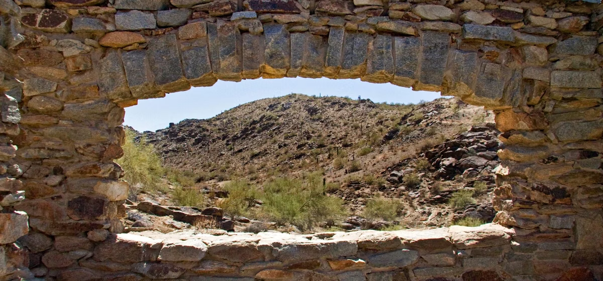
A short canyon climb past two 1930s CCC rock dams; the City's pick for first-timers.
How to Get to South Mountain Park and Preserve
The main entrance is on Central Avenue; trailheads ring the mountain.
Main Entrance
10919 S. Central Ave., Phoenix, AZ 85042. The Holbert and Kiwanis trailheads and Summit Road are inside. All trailheads.
Ranger Office
Phone 602-262-7393. Visitor Center: 10409 S. Central Ave., Thursday to Sunday, 9 a.m. to 3 p.m..
Heat
Hike early or late. Four routes close 8 a.m. to 5 p.m. on Extreme Heat Warning days. Heat rules.
Frequently Asked Questions
Is South Mountain Park and Preserve free?
The City of Phoenix lists no entrance or parking fee for South Mountain Park and Preserve.
What are the hours at South Mountain?
The entrance and parking lots are open 5 a.m. to 7 p.m. daily, and the trails 5 a.m. to 11 p.m.. The Visitor Center is open Thursday to Sunday, 9 a.m. to 3 p.m..
Can you drive to the top of South Mountain?
Yes. Summit Road leads from the main entrance to Dobbins Lookout, 2,330 feet, the highest point open to the public. It is closed to cars from 5 to 10 a.m. at the 1.0-mile marker on most Sundays and all day on the fourth Sunday of the month.
Are dogs allowed at South Mountain Park and Preserve?
Yes, on a leash 6 feet or shorter, but Phoenix City Code bans dogs from City trails when the temperature is above 100°F.
Is South Mountain closed in the summer?
No. On Extreme Heat Warning days the City restricts the Holbert, Mormon and Hau'pal Loop trails and National Trail access from Pima Canyon from 8 a.m. to 5 p.m.; the rest of the park stays open.
How big is South Mountain Park and Preserve?
More than 16,000 acres across the Ma Ha Tauk, Gila and Guadalupe ranges, which the City calls one of the largest municipally managed parks in the nation.
What is the best hike at South Mountain?
The best-known are the Holbert Trail toward Dobbins Lookout (2.3 miles, about 1,100 feet of climbing) and the Mormon Trail to Hidden Valley and Fat Man's Pass. The 1-mile Kiwanis Trail is a gentler start.
Who runs South Mountain Park and Preserve?
The City of Phoenix Parks and Recreation Department. It is a city park, not a state or national park.