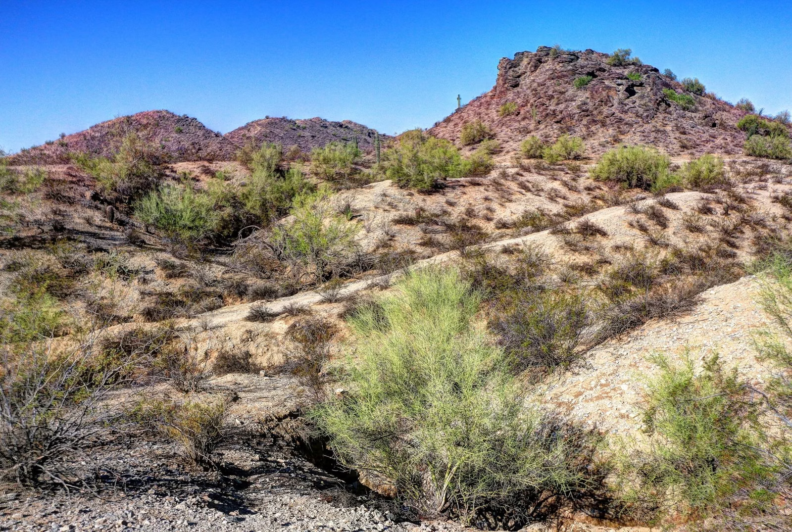
Mormon Trail
The Mormon Trail is the busy climb from the Mormon Trailhead at 8610 S. 24th St. up to the National Trail on the ridge of South Mountain. The City of Phoenix rates it moderate/difficult, with about 720 feet of elevation change, and its trail map lists it at 1.3 miles. Most hikers use it as the first leg of the loop to Hidden Valley and Fat Man's Pass. Petroglyphs can be seen along the trail. It is restricted from 8 a.m. to 5 p.m. on Extreme Heat Warning days.
Mormon Trail at a Glance
The Mormon Trailhead
The trailhead is at 8610 S. 24th St. in Phoenix, separate from the main entrance on Central Avenue. Parking follows the park's 5 a.m. to 7 p.m. hours; trails are open until 11 p.m. The City describes the Mormon Trail as fairly busy much of the time.
What the Hike Is Like
The City says the trail is steep in places but moderate for most of its length. The footing is rocky and uneven, typical of the moderate/difficult rating. It climbs steadily to a junction with the National Trail on the ridge.
- Petroglyphs: the City notes petroglyphs along the Mormon Trail, and its rock-art guide lists both the Mormon Trail and the Mormon Loop Trail. Look from the trail; skin oils damage the rock surface (Petroglyphs).
- Mormon Loop Trail: a branch with about 410 feet of elevation change that turns off the Mormon Trail on the way up.
- Bikes: allowed, but the City does not recommend biking the Mormon Trail because of the number of hikers.
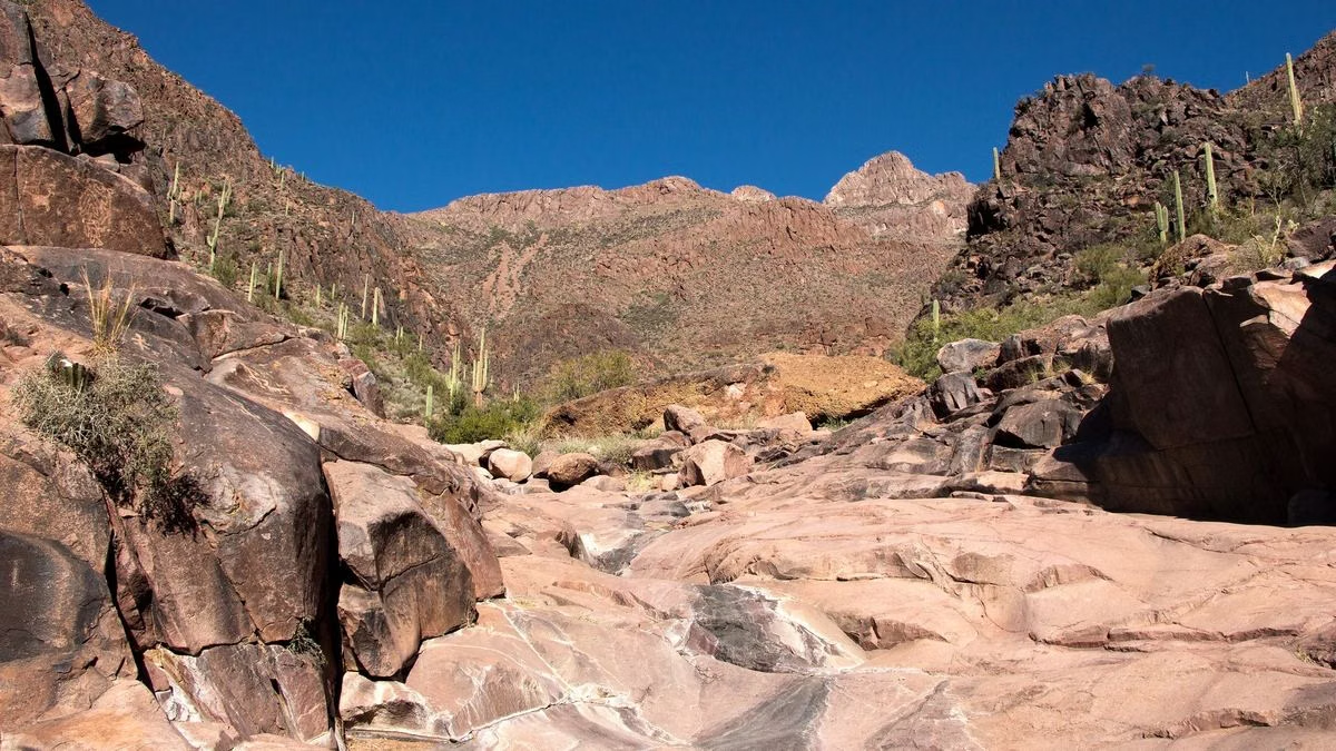
The Hidden Valley Loop From the Mormon Trail
The City's own description of the classic loop: take the Mormon Trail up to the National Trail, then follow the National Trail to either end of Hidden Valley. At the west end of Hidden Valley is Fat Man's Pass and a naturally smooth rock slide. Follow the wash to a small cliff, where the wash and trail turn left and exit back onto the National Trail after a natural tunnel. Then loop back to the Mormon Trail to return. The Hidden Valley Trail itself is 0.5 miles with about 140 feet of elevation change.
Full guide: Hidden Valley and Fat Man's Pass.
Mormon Trail Length
The City publishes 1.3 miles on its trail map, 1.1 on its trail-description page and 1.35 on its heat-safety page. This guide uses the map.
Heat Restrictions
The Mormon Trail is on the City's short list of trails restricted from 8 a.m. to 5 p.m. when the National Weather Service issues an Extreme Heat Warning, along with the Holbert Trail, the Hau'pal Loop and National Trail access from Pima Canyon. Heat Closures
Good For / Maybe Skip If
Good for: a short, steep workout; a direct route up to the National Trail; petroglyph spotting; the Hidden Valley loop.
Maybe skip if: you're on a mountain bike, or you want a quiet trail. The Pima Canyon trails on the east side are flatter.
Mormon Trail FAQ
Where is the Mormon Trailhead at South Mountain?
At 8610 S. 24th St., Phoenix. It is separate from the main entrance on Central Avenue.
How long is the Mormon Trail?
1.3 miles on the City of Phoenix trail map, with about 720 feet of elevation change. The City's other pages give 1.1 and 1.35 miles.
Are there petroglyphs on the Mormon Trail?
Yes. The City notes petroglyphs along the Mormon Trail and the Mormon Loop Trail. View and photograph them from the trail without touching.
How do you get to Hidden Valley from the Mormon Trail?
Hike the Mormon Trail to the National Trail, turn onto the National Trail, then take the Hidden Valley Trail through Fat Man's Pass and the natural tunnel, and loop back to the Mormon Trail.
Is the Mormon Trail open in the summer?
Yes, except from 8 a.m. to 5 p.m. on days when the National Weather Service issues an Extreme Heat Warning.