National Trail
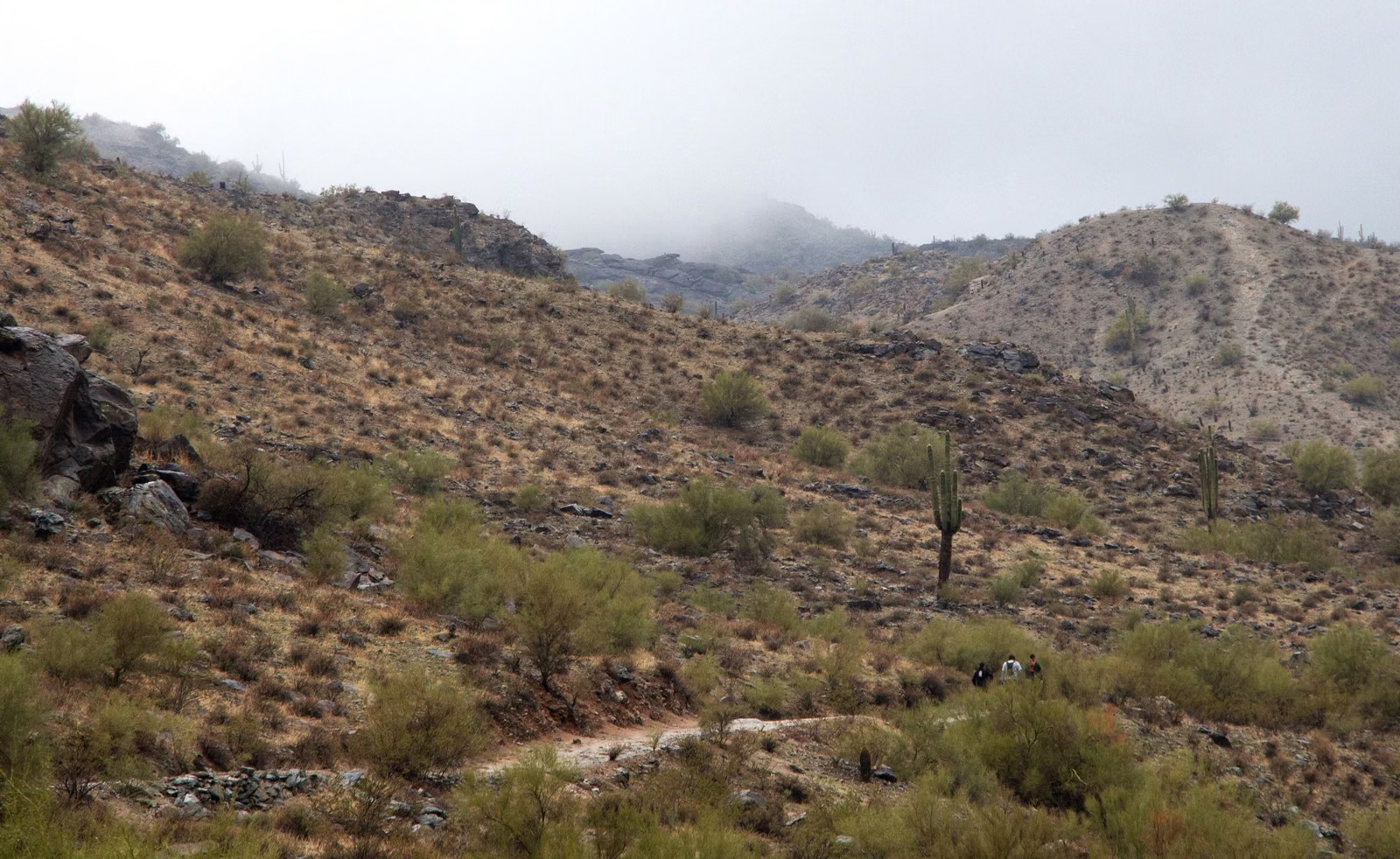
The National Trail is South Mountain Park and Preserve's ridge trail, 15.4 miles on the City of Phoenix trail map, running along the spine of the mountain. Most hikers walk a section of it rather than the whole thing, joining from the Mormon, Holbert, Kiwanis, Pima Canyon, Corona de Loma, Pyramid or Ranger trails. Landmarks along it include Hidden Valley, the TV towers and Buena Vista Lookout. On Extreme Heat Warning days, access from the Pima Canyon Trailhead is restricted from 8 a.m. to 5 p.m.
National Trail at a Glance
Where to Join the National Trail
These connections come from the City of Phoenix trail guide.
- From the Mormon Trailhead (8610 S. 24th St.): climb the Mormon Trail to the National Trail, then continue to Hidden Valley and Fat Man's Pass. The City lists about 1,150 feet of elevation change for the National Trail section reached this way.
- From the Holbert Trailhead (main entrance): the Holbert Trail meets the National Trail just east of the TV towers and west of Buena Vista Lookout.
- From the Kiwanis Trailhead: the Kiwanis Trail ends at the park road, with direct access to the National Trail and the Telegraph Pass Trail.
- From Five Tables: the Ranger Trail climbs to the park road; cross it and take the steep switchbacks to the saddle just east of "Goat Hill" to reach the National Trail.
- From the Warpaint Dr. Access Trailhead: the Corona de Loma Trail climbs from the Desert Classic Trail to the National Trail near Buena Vista Lookout.
- From Area 620 (15441 S. 19th Ave.): the Pyramid Trail climbs a ridge to the National Trail.
- From the Pima Canyon Trailhead: a popular east-side start. This access is restricted from 8 a.m. to 5 p.m. on Extreme Heat Warning days; the National Trail stays open from other trailheads.
What the Trail Is Like
The National Trail runs along the spine of the mountain, high above the trailheads, so any section of it starts with a climb on one of the connector trails above. Plan a section that fits the day: the City's map shows the full trail and its connectors (Trail Map). The trail is open to hikers, mountain bikers and horseback riders, like most of the park's trail system.
Hiking the Whole National Trail
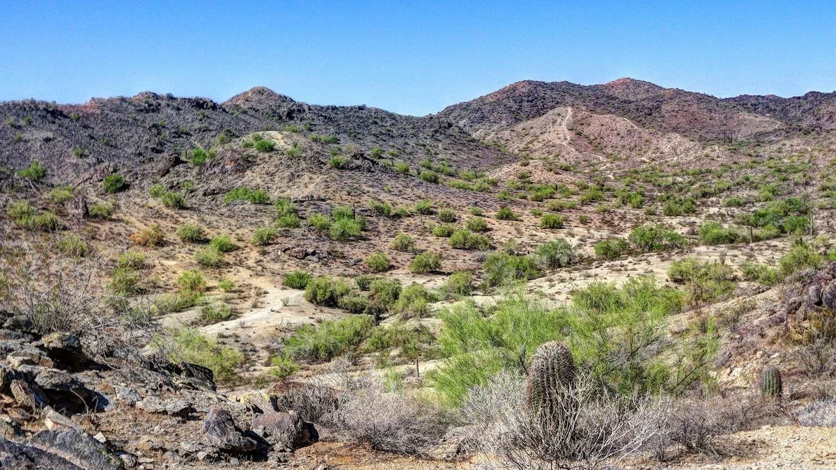
The full 15.4 miles is a long day; plan for a car at the far end or a long return. The City holds an organized event, the National Trail Trek, for which Summit Road is closed to cars; watch the City's park page for the date. For any long section, the City's checklist applies twice over: start early, carry far more water than you think you need, carry a phone and tell someone your route.
Good For / Maybe Skip If
Good for: experienced hikers and riders building a long day; anyone linking two highlights, such as Hidden Valley and the Holbert climb.
Maybe skip if: you're new to desert hiking or it's a warm day. Try the Kiwanis Trail or the paved loops at the Visitor Center first.
National Trail FAQ
How long is the National Trail at South Mountain?
15.4 miles on the City of Phoenix trail map; only the Maricopa Trail (16.2 miles) is listed longer. It runs along the spine of South Mountain Park and Preserve, and most people hike a section of it.
Where does the National Trail start?
You can join it from many trailheads. Common starts are the Mormon Trailhead (8610 S. 24th St.), the Holbert Trailhead at the main entrance, the Kiwanis Trailhead and the Pima Canyon Trailhead.
Is the National Trail closed in the heat?
Only access from the Pima Canyon Trailhead, from 8 a.m. to 5 p.m. on Extreme Heat Warning days. The trail stays open from other trailheads.
Can you bike the National Trail?
The City says South Mountain's trails are used for hiking, horseback riding and mountain biking.