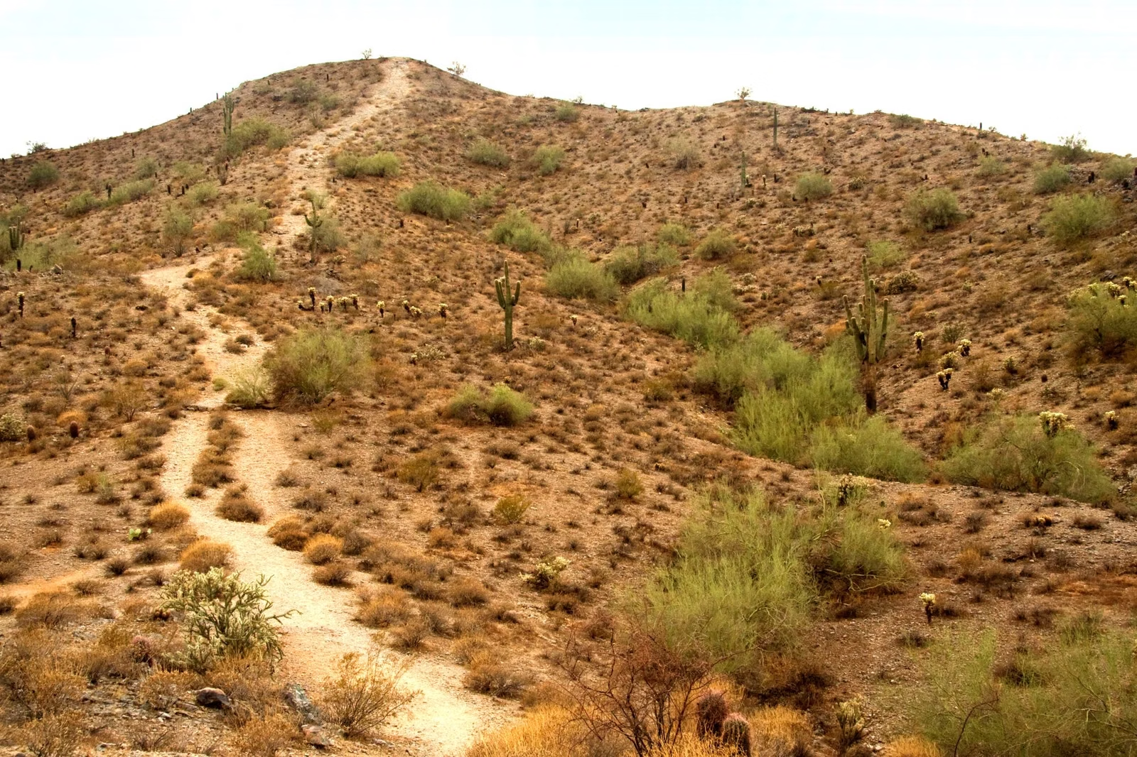
Holbert Trail
The Holbert Trail is South Mountain's classic climb to the top: a steady, rocky ascent from the Holbert Trailhead near the main entrance, rated moderate/difficult by the City of Phoenix, with about 1,100 feet of elevation change. The City's trail map lists it at 2.3 miles one way. An extension trail near the top leads to Dobbins Lookout, the park's highest public viewpoint at 2,330 feet. The City restricts Holbert from 8 a.m. to 5 p.m. on Extreme Heat Warning days.
Holbert Trail at a Glance
Where the Holbert Trail Starts
Enter the park at the main entrance, 10919 S. Central Ave. Take the first left onto the road the City signs as Phoenix South Mountain Park, and follow it to the Holbert Trailhead. Visit Phoenix notes parking and restrooms at the trailhead. The parking lot follows the park's 5 a.m. to 7 p.m. entrance hours.
What the Hike Is Like
The City calls Holbert a steady climb to the upper areas of South Mountain Park. Expect uneven, rocky footing the whole way, with the kind of loose rock and step-ups the City's moderate/difficult rating describes (obstacles up to about 12 inches).
- Lower section: the City's rock-art guide lists the Holbert Trail among the paths where Hohokam petroglyphs can be seen. Photograph them from the trail; don't touch them (Petroglyphs).
- Upper section: the extension trail to Dobbins Lookout branches off near the top. The main trail continues to the National Trail, which it meets east of the TV towers and west of Buena Vista Lookout.
- Return: the simplest plan is back the way you came; the National Trail connects to other trailheads if you arrange a car at the far end.
Holbert Trail Length: Why You'll See Different Numbers
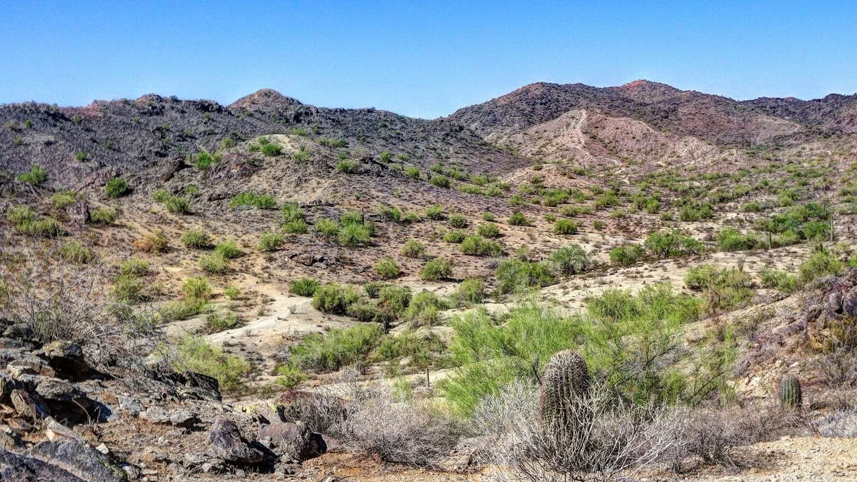
The City of Phoenix publishes three figures: 2.3 miles on its official trail map, 2.5 miles on its trail-description page and 2.56 miles on its heat-safety page. This guide uses the trail map.
Heat Restrictions
On days when the National Weather Service issues an Extreme Heat Warning, the City restricts the Holbert Trail from 8 a.m. to 5 p.m. It is one of only four routes in the park on the restricted list; the City's program exists to protect both hikers and the first responders who rescue them. On other hot days the trail is open but very exposed: start at first light and carry more water than you think you need. Heat Closures
Good For / Maybe Skip If
Good for: fit hikers who want the park's best-known summit hike; anyone who wants to earn the Dobbins Lookout view instead of driving it.
Maybe skip if: you want a short or gentle walk. The Kiwanis Trail is a 1-mile canyon hike, and the paved Judith Tunell loops at the Visitor Center are flat. You can also drive to Dobbins Lookout.
Holbert Trail FAQ
How long is the Holbert Trail?
2.3 miles one way on the City of Phoenix trail map. The City's trail-description page says 2.5 miles and its heat-safety page 2.56. The extension to Dobbins Lookout adds a little more.
How hard is the Holbert Trail?
The City rates it moderate/difficult: a steady climb of about 1,100 feet over rocky, uneven footing.
Where do you park for the Holbert Trail?
At the Holbert Trailhead lot inside the main entrance, 10919 S. Central Ave. Take the first left after the entrance and follow the road to the trailhead. Parking is open 5 a.m. to 7 p.m.
Does the Holbert Trail go to Dobbins Lookout?
Yes, by an extension trail near the top. The main trail continues to the National Trail.
Is the Holbert Trail closed in summer?
Only on Extreme Heat Warning days, from 8 a.m. to 5 p.m. On other days it stays open.